MACHICO TRAIL RUNNING TOUR
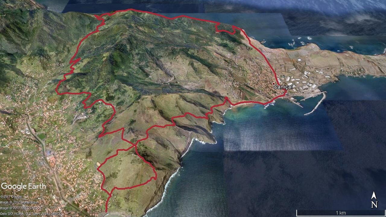
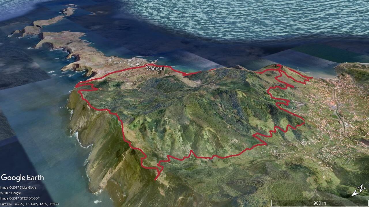
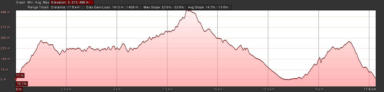
Elevation gain 1413 m | Distance 17.8 km | Altitude min. 5 m | Altitude max. 496 mMachico trail running tour route
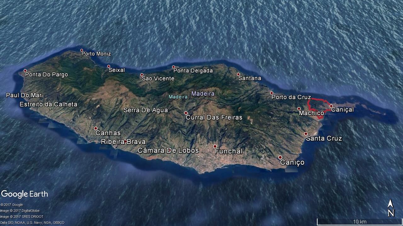
Machico – Pico do Facho – Pico Castanho – Pico das Roçadas – Caniçal – Ribeira do Natal – Pico do Facho – Machico
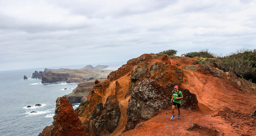
Starting next to the sandy beach of Machico, the ascent goes by a path between houses, entering then in a trail that ends at Pico do Facho. During this uphill we can see a view of this town. We follow the Levada do Caniçal towards Boca do Risco, and from there we climb till Pico das Roçadas, where there is an excellent view of the north coast cliffs of Madeira island. After that, we begin the descent to the village of Caniçal where along the promenade we can breathe the sea breeze. After reaching Ribeira do Natal, the ascent goes between the slopes in the south between the Caniçal and Machico. Sometimes we can see airplanes approaching to Funchal international airport.
Coming back to Pico do Facho, we follow a technical descent that ends next to the Santa Casa da Misericórdia de Machico where we continue by the road and some steps towards the beach of Machico.
Elevation gain (m)
Distance (km)
Altitude min. (m)
Altitude max. (m)


Map, route, elevation

Prices
Machico Trail Run
- Activity duration 4 hours
- Pick up from hotel
- Trail run with guide
- Insurance
- Thermal blanket and whistle
- Flashlight
- Water and 1 snack bar
- Drop off at hotel
- *Min. 2 persons
Machico Trail Run Individual
- Activity duration 4 hours
- Pick up from hotel
- Trail run with guide
- Insurance
- Thermal blanket and whistle
- Flashlight
- Water and 1 snack bar
- Drop off at hotel