RIBEIRO FRIO 2 TRAIL RUNNING TOUR
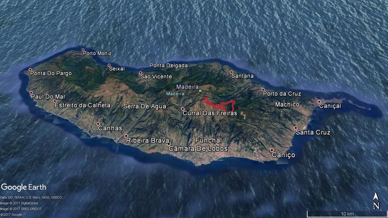
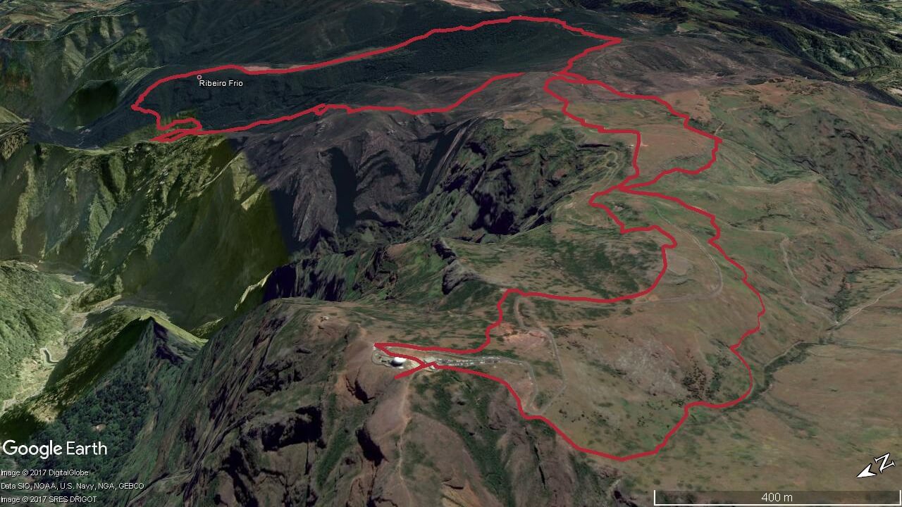
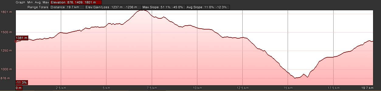
Elevation gain 1237 m | Distance 19.7 km | Altitude min. 876 m | Altitude max. 1801 mRibeiro Frio 2 trail running tour route
Poiso – Chão da Lagoa – Pico do Arieiro – Cabeço da Lenha – Ribeiro Frio – Chão das Feiteiras – Poiso
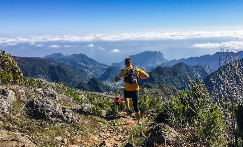
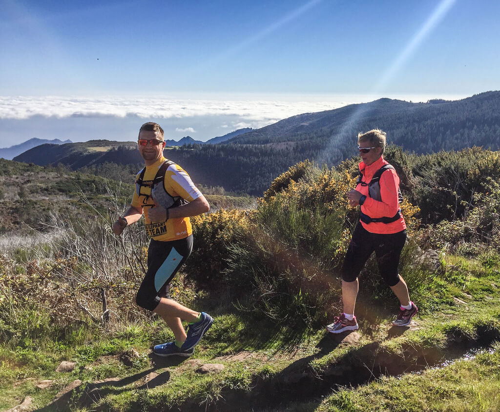
Starting in Poiso we run through a zone covered by large pine trees followed with a single track to cross a brook passing to the treeless area of Chão da Lagoa. We contour the Chão do Arieiro, and after crossing the road, we enter an upward trail that ends at Pico do Arieiro. From this peak we can observe the Pico Ruivo, the Paul da Serra and all the central mountain massif of Madeira island. The descent goes through the Chão do Arieiro, and Cabeço da Lenha. The descent to Ribeiro Frio is made by a technical trail embedded in the Laurel forest, and heading to Balcões. Following the course of the levada we arrive to Ribeiro Frio.
The ascent is made by a royal stone road through the Chão das Feiteiras where is a sheepfold, and ends again at the starting point of Poiso.
Elevation gain (m)
Distance (km)
Altitude min. (m)
Altitude max. (m)


Map, route, elevation


Prices
Ribeiro Frio 2 Trail Running
- Activity duration 4 hours
- Pick up from hotel
- Trail running with guide
- Insurance
- Thermal blanket and whistle
- Flashlight
- Water and 1 snack bar
- Drop off at hotel
- *Min. 2 persons
Ribeiro Frio 2 Trail Running Individual
- Activity duration 4 hours
- Pick up from hotel
- Trail running with guide
- Insurance
- Thermal blanket and whistle
- Flashlight
- Water and 1 snack bar
- Drop off at hotel