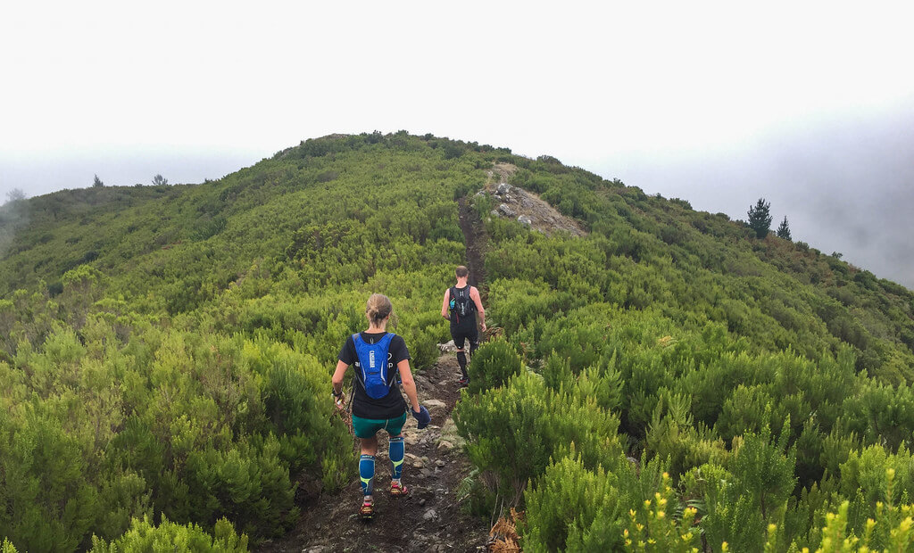
SANTO DA SERRA TRAIL RUNNING TOUR
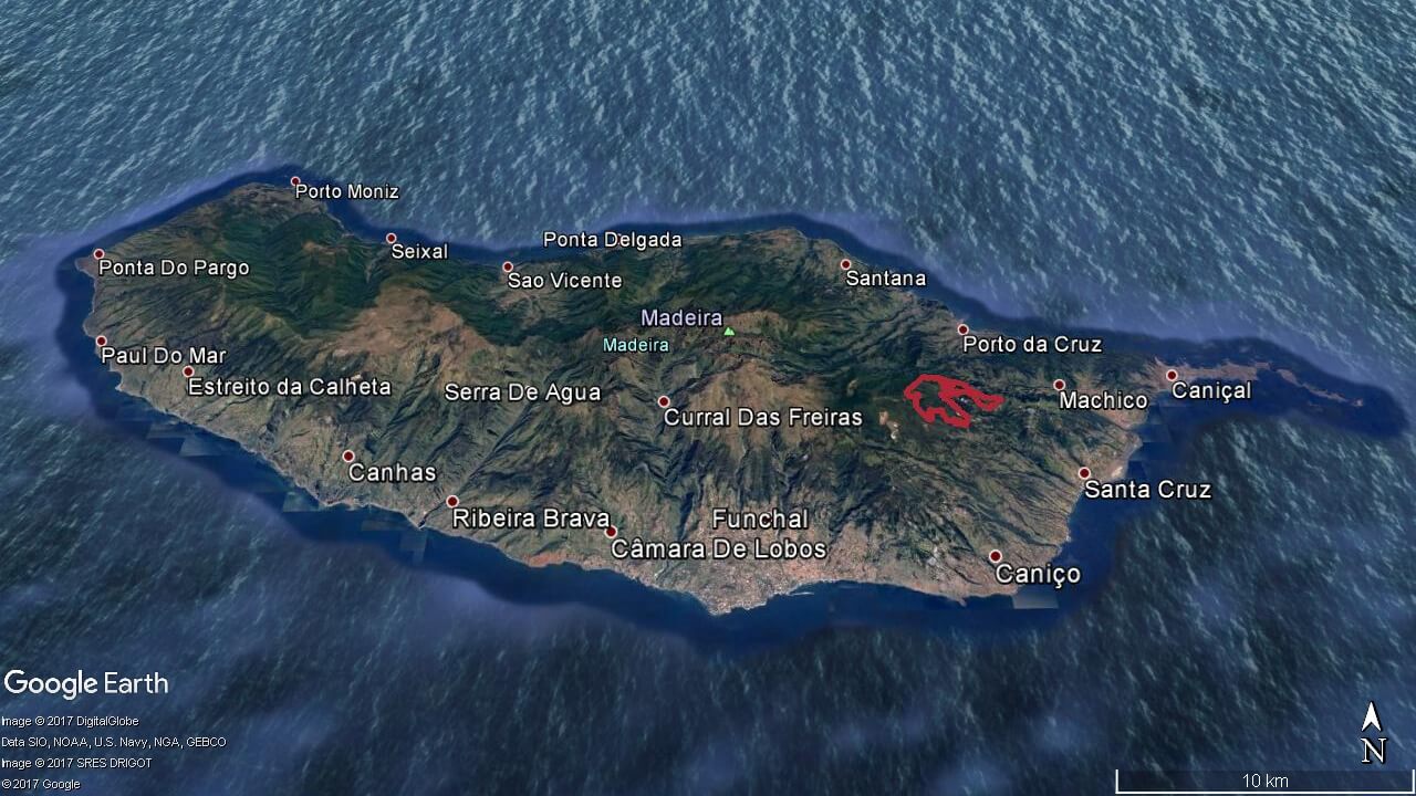
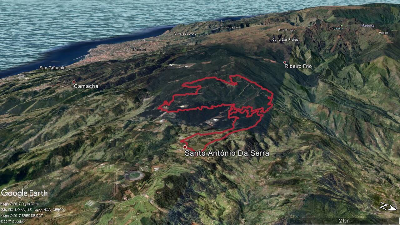
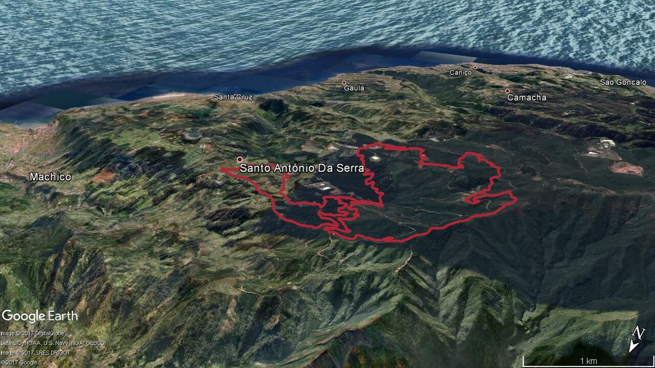
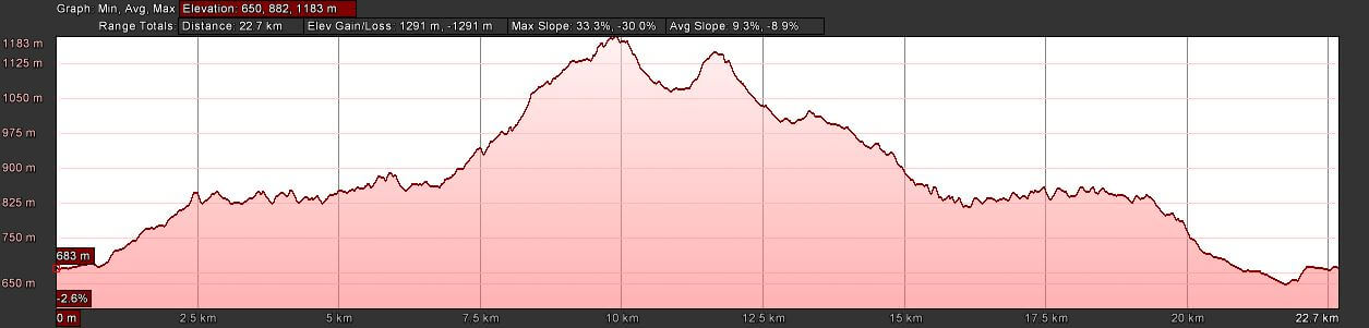
Elevation gain 1291 m | Distance 22.7 km | Altitude min. 650 m | Altitude max. 1183 mSanto da Serra trail running tour route
Santo da Serra – Levada da Serra do Faial – Chão das Aboboreiras – Levada da Serra do Faial – Santo da Serra
Starting in the parish of Santo António da Serra, this trail follows a dirt road, and enters the Levada da Serra do Faial. Running along it about 2 km we leave it passing near the Pico do Suna, and continuing to ascent up to the zone of Terreiros. Here we enter a technical trail that gives access to another dirt road. Then we enter again in another technical trail with ascending, after we continue run to the Chão das Aboboreiras, and enter again the Levada da Serra do Faial. Following levada about 4 km through urban areas around the center of Santo António da Serra we get back to the starting point.
Elevation gain (m)
Distance (km)
Altitude min. (m)
Altitude max. (m)


Map, route, elevation

Prices
Santo da Serra Trail Running
€60/person
- Activity duration 4 hours
- Pick up from hotel
- Trail running with guide
- Insurance
- Thermal blanket and whistle
- Flashlight
- Water and 1 snack bar
- Drop off at hotel
- *Min. 2 persons
Santo da Serra Trail Running Individual
€85/person
- Activity duration 4 hours
- Pick up from hotel
- Trail running with guide
- Insurance
- Thermal blanket and whistle
- Flashlight
- Water and 1 snack bar
- Drop off at hotel